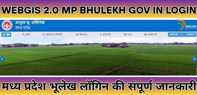
WebGIS 2.0 MP Bhulekh Login: Complete Guide to Using the Madhya Pradesh Bhulekh Portal
The Government of Madhya Pradesh has developed the WebGIS 2.0 MP Bhulekh Portal to make land records digital and transparent. It is a modern GIS (Geographic Information System)-based platform where citizens and authorized government officials can access various land-related information online. Through this system, users can easily view Khasra, Khatauni, land maps, land ownership details, and other revenue records.
WebGIS 2.0 has been developed with more advanced technology compared to the previous version, making the process of searching and managing land records easier and more accurate.
What is WebGIS 2.0 MP Bhulekh?
WebGIS 2.0 is a digital land information system operated by the Revenue Department of Madhya Pradesh. This platform not only provides online access to land records but also offers land mapping and record management facilities.
The main objective of this portal is to provide citizens with land-related information from home while making the functioning of the Revenue Department more transparent and efficient.
Major services available on this platform:
- View land records
- Access Khasra and Khatauni information
- View digital land maps
- Check land ownership details
- Access revenue record information
- Access land-related reports and data
Main Types of WebGIS 2.0 Login
The portal offers different login options based on user requirements.
1. Public User Access
This facility is available for general citizens. Most public services can be accessed without any special User ID or Password.
Through this access, users can:
- View Khasra details
- Obtain Khatauni records
- View land maps
- Download or print records
2. Government Official Login
This login is reserved for authorized officials of the Revenue Department.
Users under this category include:
- Patwari
- Revenue Inspector
- Tehsildar
- Naib Tehsildar
- Other departmental officials
These officials are provided with authorized login credentials by the department.
3. Department Level Login
This access is intended for senior administrative officials responsible for monitoring and managing land records at the district or state level.
Through this login:
- Reports can be generated
- Records can be reviewed
- Dashboard-based data monitoring can be performed
- Land management-related decisions can be made
How to Use WebGIS 2.0 as a Public User?
If you want to view your land information, follow the steps below.
Step 1: Open the Portal
First, open the MP Bhulekh portal on your mobile phone or computer.
Step 2: Select Citizen Services
On the homepage, click on the “Citizen Services” option or the relevant section.
Step 3: Select the Required Service
Choose any one of the following services according to your requirement:
- Khasra Details
- Khatauni Records
- Land Map
- Land Records
Step 4: Enter Location Details
Now enter the following details:
- District
- Tehsil
- Village
Step 5: Search the Record
Then search the record by entering:
- Khasra Number
- Khata Number
- Or Landowner’s Name
Step 6: View and Download the Information
Once the record is displayed, it can be viewed online and downloaded or printed in PDF format.
Government User Login Process
The login process for government officials is different from that of general users.
Process:
- Go to the portal login page.
- Enter the User ID issued by the department.
- Enter the Password.
- Complete the security verification.
- Click the Login button.
After successful login, officials can perform tasks such as updating records, making modifications, and generating reports according to their authorized jurisdiction.
Common Problems During Login
Website Not Opening
Sometimes the portal may respond slowly due to heavy server load.
Solution:
- Try again after some time.
- Use a stable internet connection.
- Refresh your browser.
Record Not Found
If the record is not displayed, it may be because:
- The entered information is incorrect.
- The record is under the update process.
- The data is not yet available.
Forgot Password
Authorized government users can use the “Forgot Password” option. If the issue continues, they should contact the departmental technical support team.
Browser Compatibility Issue
For the best experience, it is recommended to use the following browsers:
- Google Chrome
- Mozilla Firefox
- Microsoft Edge
Some features may not function properly in older browsers.
Key Features of WebGIS 2.0
High Resolution Land Maps
Provides a clear view of land boundaries and land parcels.
Satellite Based Mapping
Displays the actual land view using advanced mapping technology.
GPS Integration
Users can obtain land information based on their current location.
Advanced Search Facility
Records can be searched using multiple methods:
- Khasra Number
- Khata Number
- Owner’s Name
Mobile Friendly Platform
The portal can be easily used on both mobile phones and tablets.
Multi-Language Support
Information is available in both Hindi and English.
Download & Print Facility
Land records and maps can be downloaded in PDF format and saved for future reference.
Benefits of Using WebGIS 2.0
- Quick access to land records
- Transparent land management system
- Saves time and effort
- Online record verification facility
- Digital data protection
- Helpful information for resolving land disputes
- Easy access to government services
Security Tips
While using the portal, it is important to follow certain precautions:
- Use only the official website.
- Do not share your login information with anyone.
- Always log out after using a public computer.
- Use a strong password.
- Avoid suspicious websites and fake links.
Conclusion
The WebGIS 2.0 MP Bhulekh Portal is an important initiative towards making land record management in Madhya Pradesh digital and modern. This platform provides both citizens and government officials with easy access to land-related information.
If you want to view your land records, Khasra details, Khatauni, or land map, WebGIS 2.0 can be a useful platform for you. With the help of digital technology, most land-related information can now be accessed in just a few clicks, improving both transparency and convenience.